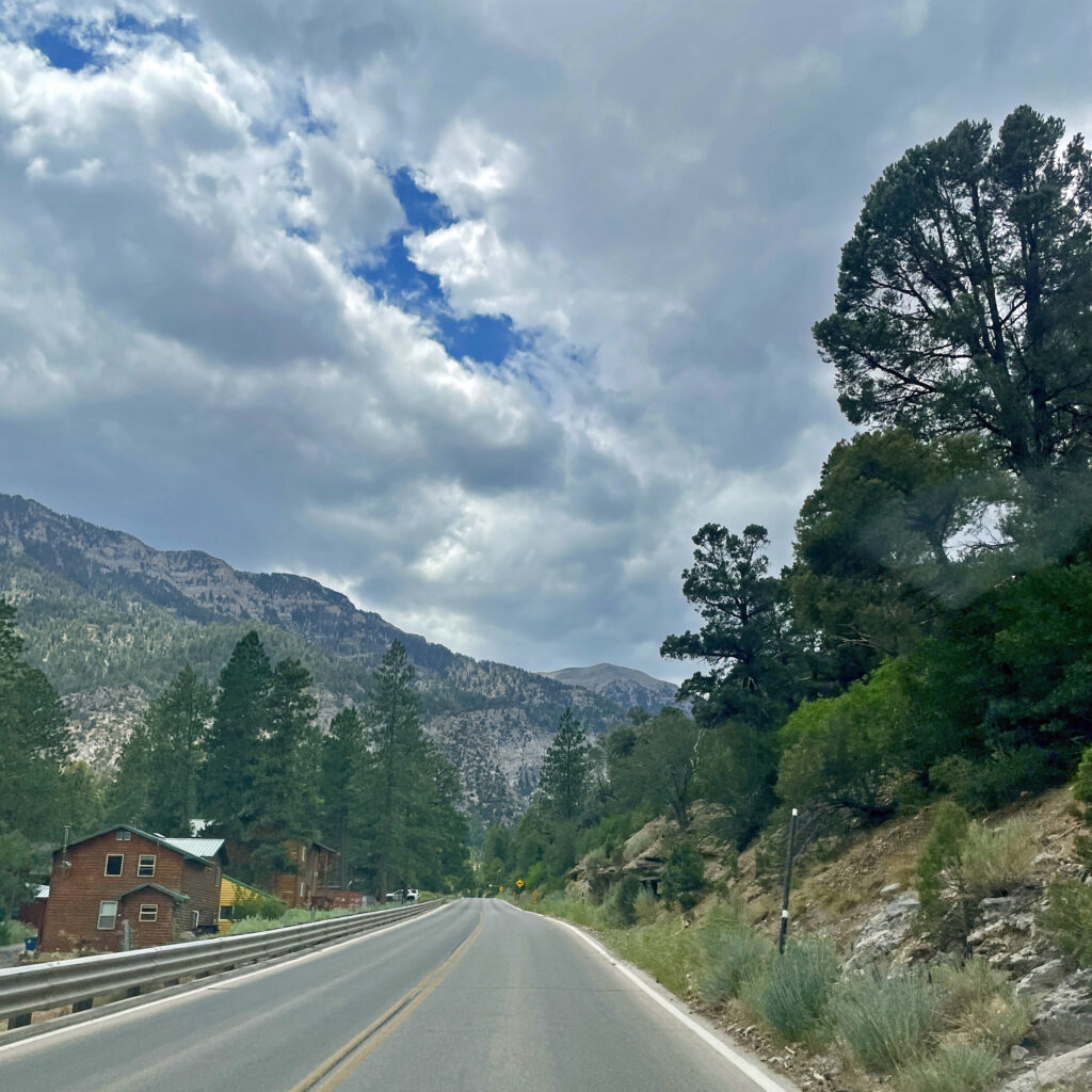
This is the drive into Kyle Canyon on NV Route 157 (known as Kyle Canyon Road). The bald mountain in the far distance is Mount Charleston, whose peak elevation is 11,918 feet making it the tallest peak in the Spring Mountains Range. I was blessed to have made the ascent twice in my youth.
It’s been over six months since I last posted a journey, either a fishing trip or just a simple drive through nature. On this past July 21st I took a drive through Mt. Charleston to reset my mind on those things in my life that matter most to me: my relationships with our Lord, my wife, and our extended family.
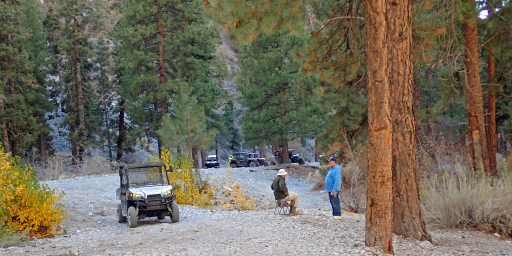
This is the terminal end of the Carpenter Canyon jeep trail, which is about 300 yards beyond where the U.S. Forrest Service signage suggests you stop. I expected to see travelers today, especially since it was the Veterans Day holiday, but on the way up we only came upon a lone motorbike that was heading down the mountain. This group (an informal Razor Club) arrived at noon, but we did not hear or see them until we returned from our fishing exploration. Good people from Pahrump, several of whom where veterans.
In the 1970s I developed an interest in U.S. Geological Survey topographic maps (i.e., topo maps). Hunting and fishing with my brother Neal often involved these topo maps. While the first satellite global positioning system (GPS) had been created by the US military, civilian use did not materialize until 1993. Civilian access to the Internet also occurred around 1993, but cell phone GPS was not available until 1999. Until civilian GPS became available, topo maps were the best way to explore the outdoors.
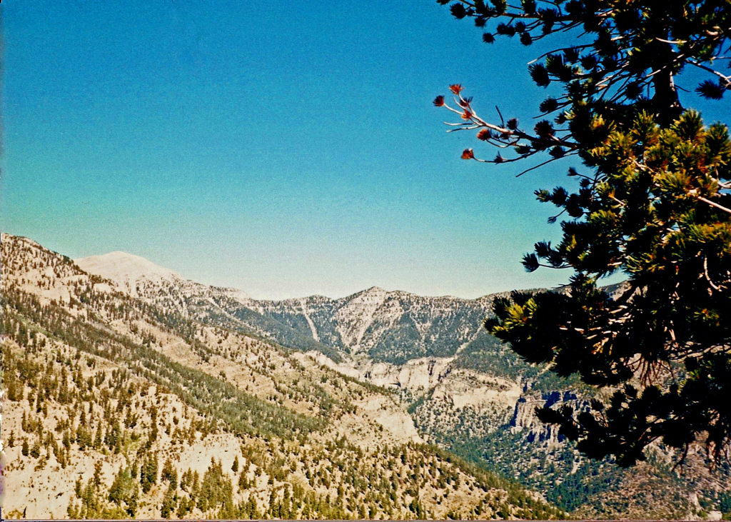
Kyle Canyon with 11,918 foot Charleston Peak on the left
Sometimes we take for granted how we came to be who we are. What youthful experiences shaped us into who we are today? Why do we like certain things, and not others? For me, why have I always loved the outdoors?